Geospatial Intelligence Informs Safer, Smarter Business Decisions


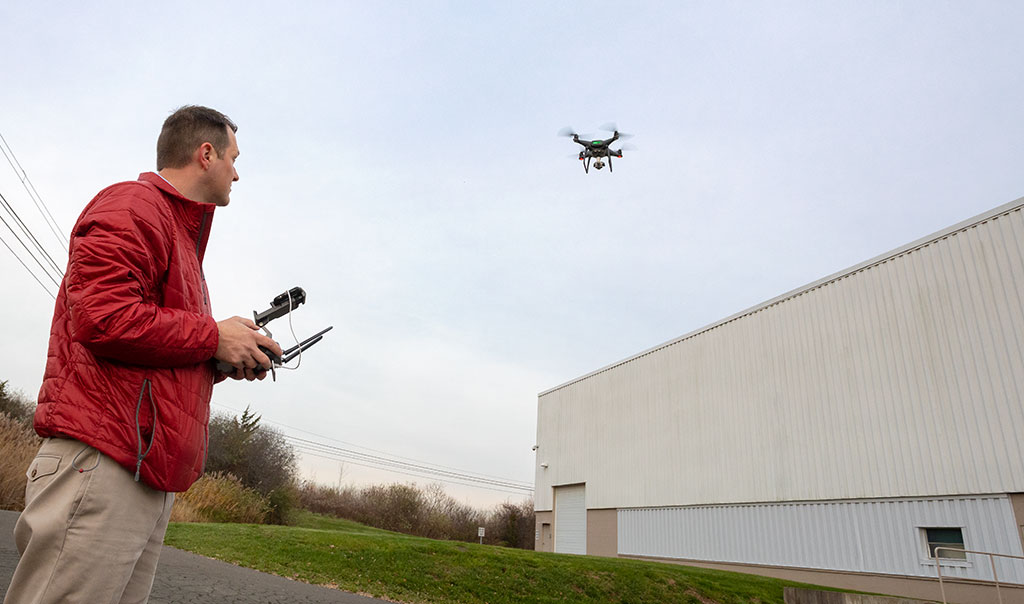
After an avalanche at a ski mountain, drones are helping rescuers on the ground find victims in hours, rather than days. It’s one example of how geospatial intelligence has changed rescue operations, allowing for a detailed search without putting crews in harm’s way. The technology is also helping businesses get back to normal sooner. After a wildfire, analyzing ultra-high resolution aerial imagery helps assess property damage so the claim process can start faster.
Businesses have begun to see the operational intelligence value that geospatial technology provides, beyond responding to natural disasters. In the age of “Big Data,” it can help uncover patterns and trends in location-specific data, potentially helping businesses better understand their risks and be better prepared if the unexpected does happen.
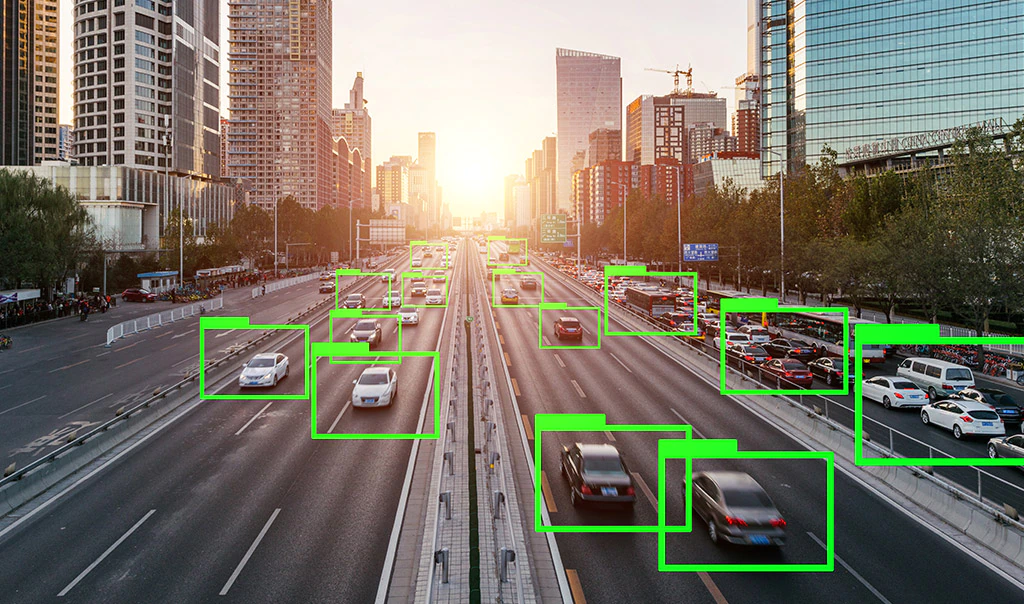
Armed with information from satellite images, aerial photos, traffic conditions and other geospatial data, risk managers can use near-real-time intelligence to respond to changing conditions, down to the location-specific level. For example, in the retail industry, companies can choose to tailor their inventories based on a predicted weather pattern, with outdoor equipment sellers stocking up on generators when a hurricane looms and snowblowers when a snowstorm is expected.1
Location information is key to market, operational and real-time intelligence. Increasingly, geospatial analysis can also combine data from sensors, machinery and technology assets and the Internet of Things with business data to provide a more complete picture of potential opportunities, cost savings and risks.2 This can help inform decision models, from selecting the ideal location for a new coffee shop to potentially pinpointing the best treatment areas for a public health epidemic, for example.
“As geospatial technology evolves and becomes more customizable and accurate, it’s likely to play a larger role in improving business processes, from managing inventory to assessing risks,” said Chris Day, a Catastrophe Response professional at Travelers.
Here’s a look at what’s driving the growth of geospatial technology, how it’s being used and some key considerations for implementing it in your business.
What’s driving geospatial technology?
Advances in technology are improving the gathering, storing and sharing of location information, which is making geospatial applications more relevant and more accessible to businesses that see the potential benefits of leveraging that data to drive efficiencies, study customer populations and manage property risks.
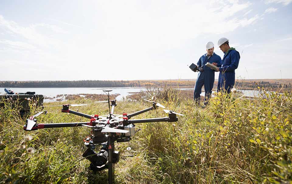
“Smartphones, GPS devices and social media have all led to more, and increasingly more accurate, data than ever before,” explained Day. “Advances in the quality of remote sensing, including finer satellite image resolution and the use of drones to gather aerial photography, have expanded what’s possible to map and analyze.”
Mapping data in multiple layers can make it easier for business leaders to visualize and to track over time. According to the American Association for the Advancement of Science, it also “simplifies confirmation of observations by others,3 “which can facilitate consensus-building and decision-making.
How geospatial technology is used: FEMA responds to a flood in Baton Rouge
Geographic Information Systems (GIS) technology, which enables the creation, organization and presentation of data in a spatially referenced form,4 can be used to identify hazards and assess property risks related to hurricanes and other natural disasters.
When floodwaters rose in central Louisiana, the Federal Emergency Management Agency (FEMA) arrived with its geospatial information unit.5 This single incident showcased the agency’s geospatial capabilities in three distinct ways:
Crisis mapping: Combining aerial imagery, weather data, street closures and local terrain, FEMA personnel were able to monitor conditions and plan the agency’s response based on where help was needed most.
Disaster response: With a clear understanding of where help was needed, and knowledge that emergency personnel could safely get there, FEMA could dispatch aid and clear zones.
Improved planning: The same geospatial assets were used after the water receded to analyze watersheds and drainage basins to improve management of water flow and reduce the likelihood of future floods.
Incorporating geospatial intelligence
How you incorporate geospatial technology in your business begins with assessing your company’s unique risks and potential areas for improvement. Three areas to consider:
- Start geocoding your facilities. Converting your location’s street address into geographic coordinates, or geocoding, is a critical first step to implementing a geospatial plan. The U.S. Census Bureau offers a free geocoding service (search “Census Geocoder”) or you can use a paid service provider for more detailed results.
- Map your supply chain in addition to your locations. There may be single points of failure in your supply chain that face significantly different risks than your owned locations. Add those points to your geospatial program to develop a comprehensive picture of your organization’s risks.
- Find foundational data resources relevant to your organization. There are several free mapping resources you can utilize based on the type of data relevant to your initiative:
- The National Weather Service offers multiple weather, precipitation and air quality resources.
- More than 300,000 other datasets are available to review and use at the U.S. Government’s open data website, data.gov. Many states also produce high-quality geospatial resources.
Geographic information systems: Operational intelligence
At Travelers, we’re using this technology and more every day. Over the past seven years, we’ve established geospatial as a core competency across the company. We’ve made significant investments in our platforms, talent and data to integrate geospatial capabilities and location intelligence into all areas of the insurance life cycle.
In our National Catastrophe Command Center, we continually monitor weather so we can understand our potential exposure and stage the right resources before an event.
After an event, our geospatial capabilities allow us to pinpoint the scope and severity of damage and overlay it with customer location information.
We aggregate millions of data points from weather services to create these event overlays. This data visualization and geospatial sophistication enhances our overall operational intelligence and helps us deploy the right people to the right place at the right time.
“For example, we know the precise size of hail that impacts an area,” explained Day. “Since we’re armed with customer location data and know the type of damage certain diameter hail causes, we can estimate with reasonable certainty the severity of the losses.”
In another example, Travelers uses ultra-high resolution aerial imagery to assess property damage in wildfire evacuated areas. We can determine total or even partial burns, which informs our response strategies and allows us to begin the claim process even before we can physically deploy to an area.
Geospatial intelligence also helps us make more informed underwriting decisions. By looking at weather data down to the street address level, not just by ZIP code or county, Travelers can precisely understand and underwrite your location’s unique risks.


