Rising Catastrophe Losses Demand Efficient Insurance Claim Responses


Brace for impact. With insured catastrophe losses regularly exceeding $100 billion each year,1 insurance carriers that invest in advanced claim technologies are resolving claims faster and streamlining the claim process for risk managers and their organizations.
Advanced claim technologies like remote damage assessments allow insurers to begin to evaluate the damages sometimes even before owners have seen the damage to their property. Advances in claim technologies are opening the door to faster and more efficient claim responses to catastrophes like severe storms, hurricanes, earthquakes, wildfires and tornadoes.
Travelers is a great example of an insurance carrier that leverages advanced technology extensively with its expansive use of aerial imaging, artificial intelligence and sensor technologies, all aimed at streamlining the claim process, boosting accuracy and delivering a superior customer experience.
Aerial imaging expedites claim processing after catastrophes
In line with the Federal Aviation Administration's aerospace forecast for 2022-2042, which emphasizes the growing significance of aerial drone technology across various industries,2 the insurance sector is increasingly embracing high-resolution photography and video imaging techniques to assess property damage in the aftermath of catastrophic events such as hurricanes, tornados and wildfires.
Two applications of aerial imaging significant to the modernization of the claim process are piloted flyovers and drone usage:
1. Piloted flyovers for high-resolution aerial imagery
For large-scale assessments, piloted flyovers using specialized aircraft equipped with high-resolution cameras are employed. These flyovers capture comprehensive aerial imagery of affected areas, providing a broad overview of the damage landscape. This information is particularly valuable for assessing widespread damage and prioritizing claim processing efforts.
2. Drone usage by claim handlers
Drones are becoming essential tools for claim handlers in the field. Unmanned aerial vehicles (UAVs) can quickly provide high-resolution aerial imagery and data, allowing adjusters to assess damage remotely and accurately. This reduces the time needed for on-site visits, especially in areas that may be difficult to access due to safety hazards or road closures.
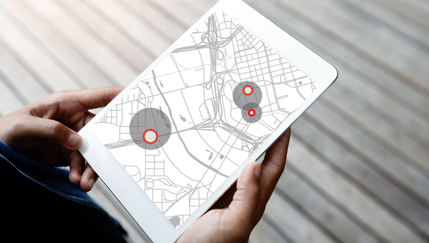
For instance, the Travelers Catastrophe Map Viewer uses high-resolution aerial imagery from planes flying over affected areas, often within 24 hours after a catastrophic event. This imagery, coupled with Travelers information about its insureds, allows agents to access information about damage to their customers’ property, often before a Claim professional can safely enter the site of the loss.
In both cases, aerial imaging provides accurate and timely information to insurers, enabling them to expedite claim processing and help policyholders through a potentially traumatic experience.
Insurers like Travelers that embrace aerial imaging technology are helping streamline claim processing, reduce costs and improve customer experiences in the aftermath of catastrophic events.
Machine learning and artificial intelligence power intelligent claim processing
Machine learning (ML) and artificial intelligence (AI) have the potential to revolutionize the insurance industry, empowering insurers to process claims with increasing efficiency and accuracy.3 These sophisticated technologies are enabling a new era of intelligent claim management, where data-driven insights and automation drive more efficient claim resolution and increase customer satisfaction.
One prime example of AI-powered claim management is Travelers’ innovative approach to property damage assessment. By combining high-resolution aerial imagery with geospatial data and models trained using AI, Travelers can rapidly identify and classify wind, hail or fire damage. Swift and accurate damage assessment expedites the claim process so customers can move toward recovery faster.
By embracing AI, Travelers is navigating increasingly complex risk environments and providing the support that policyholders need in the wake of disasters.
Sensor technology enables proactive risk mitigation
While sensor technology for property risk management is still in the early stages of adoption, its potential is promising, particularly for preventing and mitigating losses during widespread catastrophic freeze events.
Sensors that are installed on insureds’ properties can collect real-time information on a variety of environmental parameters, including temperature, humidity, water levels and vibrations. These sensors can help to detect potential risks and hazards, triggering timely alerts to policyholders. Then proactive measures can be taken to reduce or prevent damage, minimizing losses and expediting recovery.
Some sensors are even equipped with automated shutoff mechanisms for things like water valves that are activated automatically when a leak is detected. This prompt response can not only mitigate immediate loss but also help to reduce the likelihood of secondary losses, such as mold or structural damage resulting from the original water damage.
The insurance industry is undergoing transformative technological advancements that are revolutionizing property claim management practices. Aerial imaging, machine learning and sensor technology are just a few of the innovations that are empowering Travelers to process claims more efficiently, accurately and thoughtfully within a more resilient insurance ecosystem.
Reach out to your Travelers representative to learn more.
Sources
1 https://www.iii.org/fact-statistic/facts-statistics-global-catastrophes
2 https://www.faa.gov/dataresearch/aviation/faa-aerospace-forecast-fy-2022-2042
3 https://www.casact.org/sites/default/files/2022-03/01_Winter-Eforum-2022-ML_in_Insurance.pdf


