SCIENCE: Finding the Hot Spots
The most destructive fire in California’s history was the 2018 Camp Fire in the town of Paradise. It took firefighters 17 days to contain, was responsible for 85 fatalities and caused more than $16 billion in total damage. During those frightening weeks, many residents from the town of Paradise fled their homes in the middle of the night wondering when they would be able to return.
Through the use of geospatial technology – imagery analysis and weather mapping – Travelers was able to help address some of the uncertainty facing policyholders impacted by the Camp Fire.
After the smoke cleared, the Geospatial Intelligence Center (GIC) began low-altitude flights over affected areas. Using special cameras mounted to the bottom of airplanes, these flights were able to capture imagery of the damage. Even though many areas affected by this catastrophe remained inaccessible from the ground, they could now be viewed from above.
As the images captured by the GIC became available, Travelers began combining them with its property boundary data to identify Travelers policyholders' home locations. Travelers Claim professionals could then review the images of the devastation, identify total losses based on the imagery, and inform policyholders, many before they could re-enter the area.
As a result, these policyholders were able to file claims and Travelers was able to issue initial payments for the losses, which some policyholders had not yet seen with their own eyes.
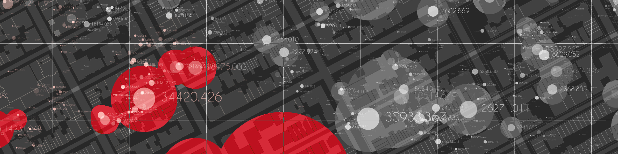
In addition to low-altitude flights, Travelers also employed geospatial weather mapping technology to help determine how to stage its catastrophe response team and how best to allocate its personnel after the event. By creating and viewing layered maps of catastrophic events, Travelers can accurately home in on the claim needs of policyholders who have been affected by wildfires, storms or other natural disasters.
“For the Paradise fire, we needed to mobilize a huge amount of resources, and for that, we needed to know the number of claims we could anticipate,” said Jerrod Bowman, Assistant Vice President, Claims Business Intelligence and Analytics at Travelers.
The use of geospatial technology is a core competency at Travelers, and its effective employment in the Paradise wildfire was a valuable benefit to policyholders.
"Geospatial technology allowed us to efficiently schedule resources and deploy our Claim teams, because it helped us to understand which policyholders were most likely to be affected and needed help. That's data-driven precision at its best," Bowman said.
Before Travelers began using geospatial capabilities, an event like the Paradise wildfire may have required Travelers to hire third-party Claim professionals in California to augment existing resources.
“Geospatial technology is a tremendous time saver,” Bowman said. “Our Claim professionals can now be more strategic. Geospatial gets us there in a whole new way.”
Travelers is a leader in the insurance industry's push to use geospatial technology. As Travelers continues to embrace these tools, their significance continues to grow in value to policyholders. For example, trained Claim professionals can leverage real-time event modeling with historic models to track a weather event's progress and potentially help predict the path it might take, with greater accuracy.
Now, with the emergence of predictive modeling and artificial intelligence comes the ability to better anticipate which policyholders may be affected, and to use imagery analysis to spot impacted policyholders. This means we can communicate more proactively with policyholders before and after a disaster occurs. The result? A much better opportunity to help policyholders prepare for an event and the ability to expedite claims and customer support after the event.
Hundreds of Travelers customers were impacted by the Paradise wildfire. Our use of geospatial technology is one of the many ways we’re honoring our promise to care using science, data and heart.
Learn more about Travelers personal insurance and business insurance products, or contact your local independent agent or Travelers representative today.
Tips, tactics and insights
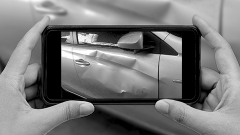
How Data Helps Insurance Customers After a Car Accident
Travelers is using advanced technologies to expedite claim handling and resolution, deliver enhanced customer service and promote safety.
Using Technology to Help Homeowners Begin to Rebuild After a Property Loss
Most homeowners know how fickle Mother Nature can be. From hurricanes and hailstorms to wildfires, sometimes there's little you can do to avoid the risk of property damage and loss.
Choose a Home Insurer That Promises to Care Through Science, Data and Heart
Your home is your castle. Why wouldn't you protect it by using an experienced company that invests in technology and puts its heart into customer support?

Preparation Helps: What to Do If You're in a Car Accident
Most of us carry smartphones, but what else would be useful if you were involved in an accident? Knowing what to have – and do – is key.

It Doesn't Hurt to Ask for Help About Filing a Claim
Not sure whether to file a claim? Call Travelers. We can give you the information you may need to make an informed decision.